
A Map Instead of a Maze
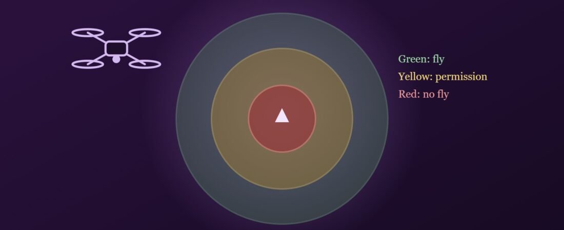
Before 2021, the question whether a drone could lawfully fly at a particular place often required a bureaucratic expedition. The Drone Rules, 2021 replaced that uncertainty with an elegant device: an interactive airspace map, published online, that colour codes the entire country. Before every flight, an operator is expected to consult the map, and the colour of the intended location determines what the law requires.
Green Zones: The Default of Freedom
Green zones are the default. They comprise airspace up to 400 feet above ground level that has not been designated as red or yellow, and airspace up to 200 feet above ground in the belt between 8 and 12 kilometres from the perimeter of an operational airport. No prior permission is required to fly in a green zone, although the operator must still verify the zone status before flight and comply with every other condition of the Rules, including registration, certification and respect for the rights of others on the ground.
Yellow Zones: Controlled Airspace
Yellow zones are controlled airspace in which drone operations require permission from the concerned air traffic control authority. They include airspace above 400 feet in a green zone, airspace above 200 feet in the belt between 8 and 12 kilometres from an airport perimeter, and airspace above ground in the belt between 5 and 8 kilometres from the perimeter. The 2021 Rules reduced the yellow zone around airports from 45 kilometres to 12 kilometres, a reform that opened large stretches of airspace to lawful operation.
Red Zones: No Fly Without Sovereign Permission
Red zones are no fly zones in which drones may operate only with the permission of the Central Government. They typically surround strategic and sensitive locations, including military installations, international borders, vital government buildings and certain places of national importance. Designations are dynamic: in 2025, for instance, the Shree Jagannath Temple at Puri was notified as a red zone for a period of three years. State Governments, Union Territory administrations and law enforcement agencies may also declare temporary red zones for limited periods, typically during major public events, VIP movements or emergencies.
Consequences of Ignoring the Map
- Violations of the Drone Rules attract monetary penalties of up to one lakh rupees.
- Flights that endanger aircraft or persons may attract criminal liability under the Bharatiya Nyaya Sanhita, 2023, including for rash or negligent acts endangering life or personal safety.
- Unauthorised flights near sensitive installations may invite investigation under security legislation, and the drone may be seized.
- The draft Civil Drone Bill, 2025 proposes imprisonment for certain violations, signalling a stricter future.
Conclusion
The airspace map embodies a mature regulatory insight: that freedom and control are best reconciled not by prohibiting a technology, but by telling citizens clearly where they may use it. Yet a map is only as effective as the habits of those who consult it. Every operator, from the student with a micro drone to the commercial surveyor, should treat the airspace check as an indispensable preflight ritual.
Readers seeking a fuller treatment may consult my book, Drone Laws in India: Regulation, Liability and Emerging Challenges (Allahabad Law Agency, 2026).